Table of Contents > Dirt Biking > Recent Dirt Bike Rides
Prev: Ballinger (another)
Next: Liebre Mountain Road (another)
Buckhorn Road and Camuesa Peak
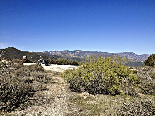
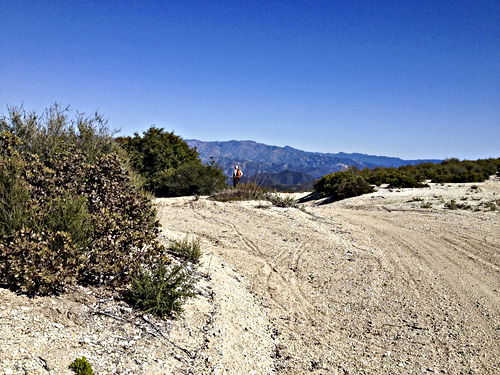
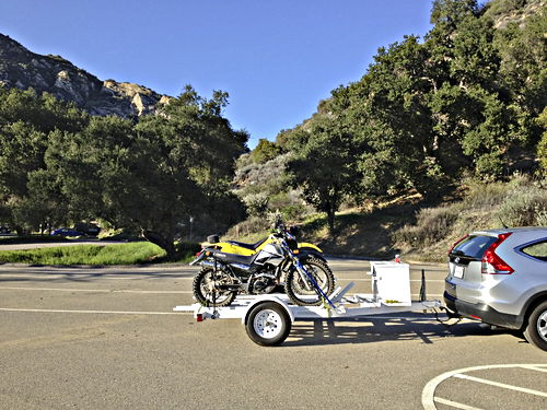
A ride of 2013:03:10. We parked at Upper Oso and rode up to the ridge and first went left, on up the hill, to the first real stopping place, the point where the Buckhorn Trail (hiking trail) intersects the road. [First set of pictures] Then we turned around. On the way back down there’s a terrific view of the really winding part of the road. [Second set of pictures] Then we came to the ridge again, and turned left down Romero Camuesa Road, and took the single-track out to Camuesa Peak. [Third set of pictures] And so back to the car, with a few more pictures along the way. See also the Buckhorn ride and the Upper Oso to Camuesa ride.
For a Google Map of the Camuesa Peak spur section, click this link.
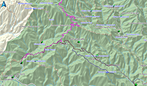
Showing the general area of this ride. See also the Buckhorn ride and the Upper Oso to Camuesa ride. The actual part we rode this time is from Upper Oso at the left up towards the top to where the Buckhorn Trail intersects the road, then back down and off to the right, taking the lower spur to Camuesa Peak.
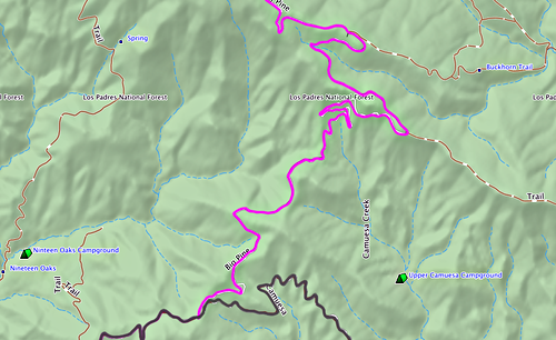
The part of Buckhorn Road we took on this ride, stopping at the top where the Buckhorn hiking trail comes in from the right. Notice also the very very winding part of the road, just below the words “Los Padres National Forest” on the map; I stopped and took some pictures of that part.
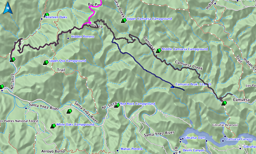
The Camuesa Peak spur runs straight, parallel to and below the Camuesa Road. It is a wide mostly level single-track trail, hugging the ridge. It goes over the top of Camuesa Peak itself, then comes down to a parking area where I took another set of pictures. Note Gibraltar Reservoir, visible in the pictures. (For pictures from the gate on the Camuesa Road, see Upper Oso to Camuesa.)
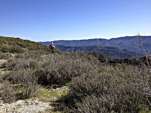
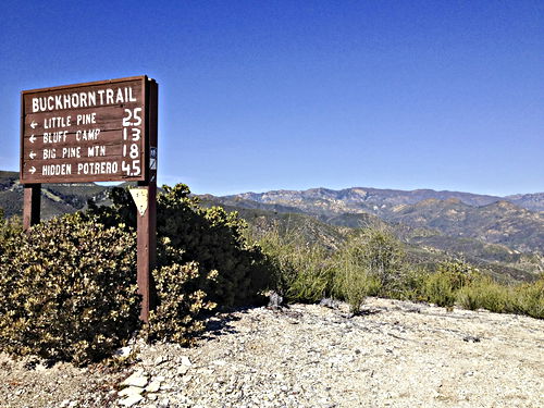
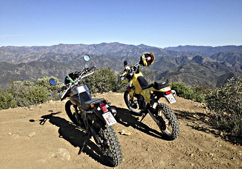
At the point where we stopped on Buckhorn / Big Pine Road, where the Buckhorn hiking trail intersects the road.
Mar 10 2013, 15:30:25
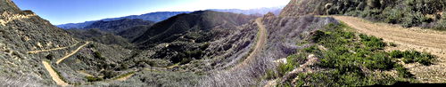
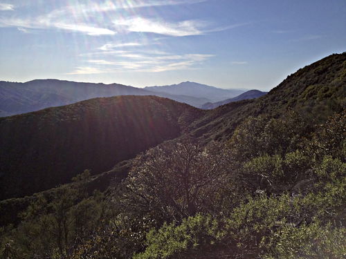
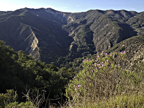
The really really winding part of the road. Look how it goes back and forth across the hills in order to get through the bowl below. It’s fantastic.
Mar 10 2013, 15:51:36
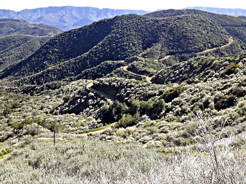
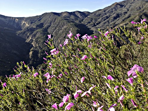
Another nice shot showing the wonderful winding of the road across the bowl.
Mar 10 2013, 15:52:04
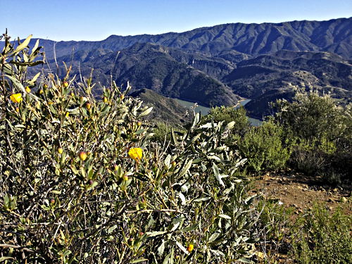
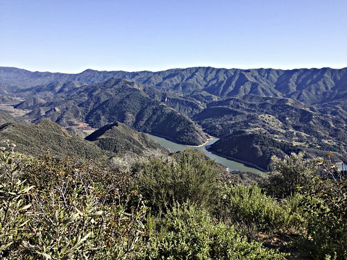
Now we’ve reached Camuesa Peak. The bush poppy is in bloom! Gibraltar reservoir visible in the background.
Mar 10 2013, 16:22:56
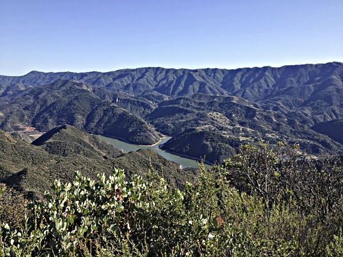
Gibraltar reservoir. Look at how low it is. We’ve had a terrible winter, without rain.
Mar 10 2013, 16:23:21
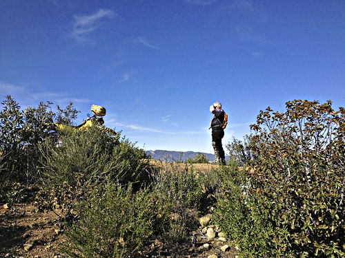
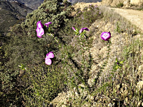
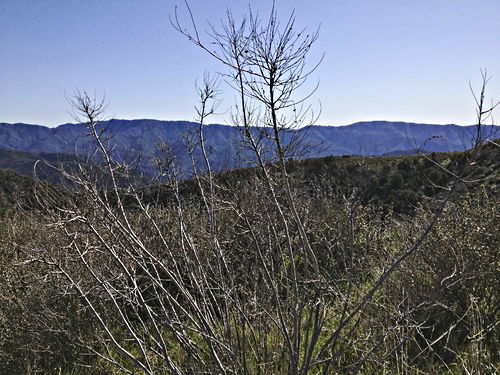
Almost back at the car, I stopped to photograph these plants. Probably some kind of phlox.
Mar 10 2013, 16:59:23
Prev: Ballinger (another)