Table of Contents > Dirt Biking > Recent Dirt Bike Rides
Prev: El Mirage
Next: Camuesa and Buckhorn, GoPro Photos
Buckhorn
What I refer to as Buckhorn Road (perhaps I should be calling it Big Pine) is the road that starts at Upper Oso Campground off Paradise Road, just west of Santa Barbara, California. These are pictures from two rides: the first on 2012:11:03, the second just a year later, 2013:11:10.
For a Google Map, click this link.
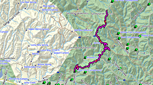
A track of the road, taken with my GPS during the ride. This is the furthest we’ve ever been able to take this road; on previous occasions, the upper parts of it were closed due to fire damage. The ride ended because we came to a major locked gate.
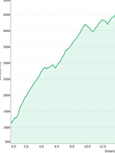
Showing the elevation change over distance from the start of the ride. We start out at just over 1000 feet; by the time we reach the gate, 14 miles later, we’re at 4500 feet! It’s pretty much a constant climb, but the road is so nicely laid out that you hardly notice.
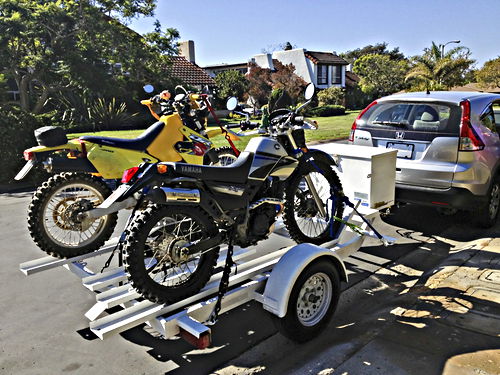
A proud moment: my new car and my newly acquired bike trailer, and look, we’ve got our bikes onto it and are ready to go! This is what I got the bike trailer for - to take the bikes to where the rides are - and it’s what I got the car for - to pull the bike trailer.
Nov 3 2012, 12:21:10
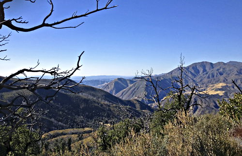
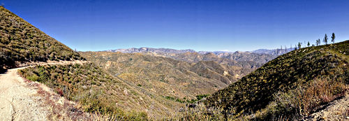
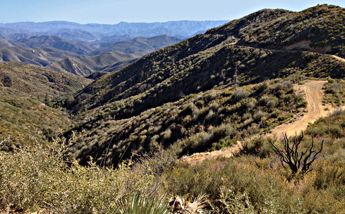
These panoramas are a little artificial, but sometimes they’re the only way to give a sense of what it’s really like to stand in a place. About halfway up the road, looking out over endless mountains. Notice the fire-damaged tree at the left, coming back to life.
Nov 3 2012, 14:21:40
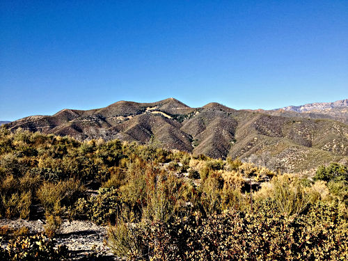
I climbed a little hill in order to get this view. Not easy in riding boots.
Nov 3 2012, 14:44:23
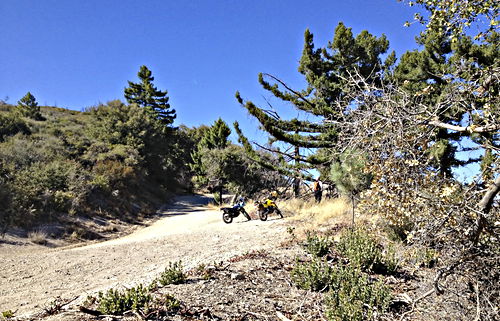
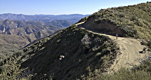
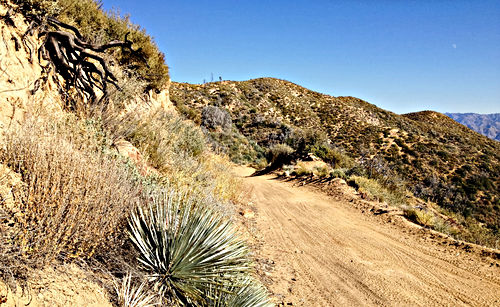
Looking down from the little hill, at the bikes and John. Gives a nice sense of the road and its placement in space, as it were.
Nov 3 2012, 14:44:51
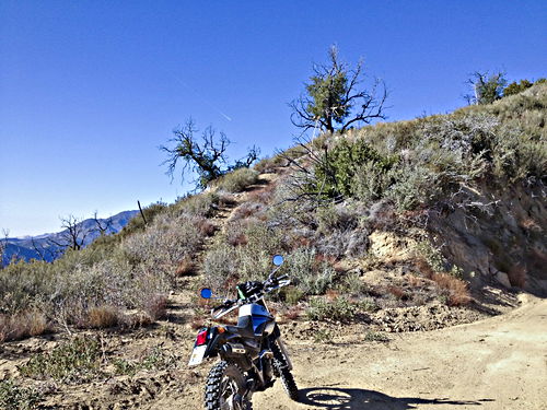
Looking back up at the hill I was standing on previously. My bike is a little trooper and deserves to have its picture taken.
Nov 3 2012, 14:47:06
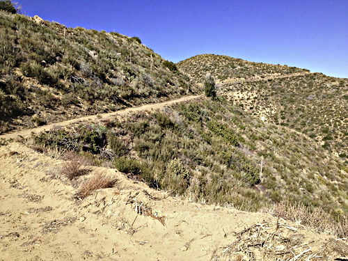
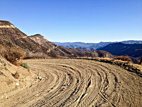
At the top of the road, looking back at the road we’ve just come up.
Nov 3 2012, 14:47:25
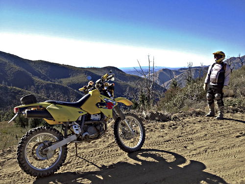
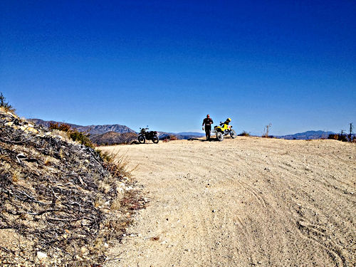
John and his bike. In the distance (looking west), visible in the middle of the picture, is the Santa Ynez valley.
Nov 3 2012, 14:47:32
Panorama taken at the top. The road I’m standing on is visible at the left and right; at the far right is the locked gate. In the middle you can see how the road comes up along a crest below us. To the right of that, some spectacular views; if you look carefully you can see Lake Cachuma. Unfortunately the iPhone doesn’t handle looking into the sun very well; if it did, you could see the islands out to sea in the middle of the photo.
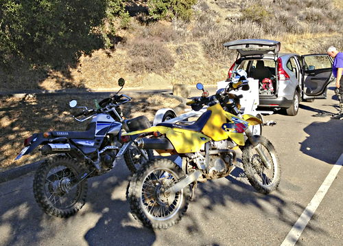
Back at the Upper Oso parking lot, changing back to our normal clothing and preparing to load the bikes back on the trailer.
Nov 3 2012, 16:20:01
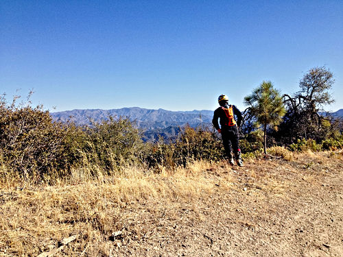
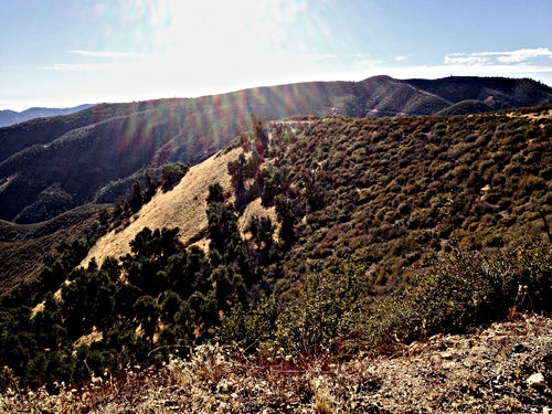
Here we are on a different ride, a year later. John is inspecting the trees, which are coming back amazingly strongly from the fire at this spot.
Nov 10 2013, 13:02:23
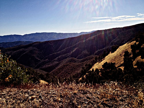
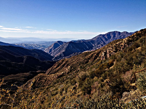
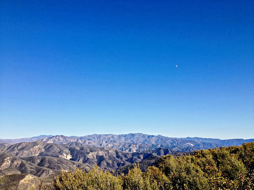
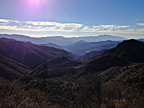
Not quite at the top. A good place for a long view; that’s one of the Channel Islands in the far distance.
Nov 10 2013, 13:19:10
Prev: El Mirage
