Table of Contents > Dirt Biking > Recent Dirt Bike Rides
Prev: Buckhorn Road and Camuesa Peak
Next: Miranda Pine and La Brea
Liebre Mountain Road (another)
A quick visit to the Old Ridge Route and Liebre Mountain Road as far as the spur down to Atmore Meadows.
For a Google Map of this little ride, click this link.
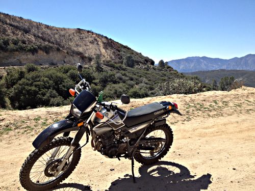
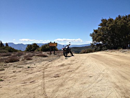
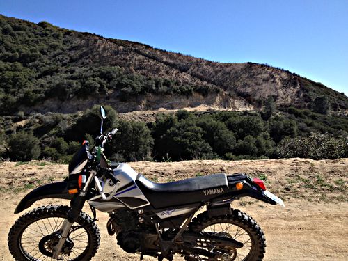
At the start, where the Old Ridge Route county maintenance ends. You can see the Old Ridge Route cutting across in the background: an amazing rode, built in 1911, the first road over the Tejon Pass (now abandoned, replaced by the 5). That looks like a burn area above it.
Mar 30 2013, 12:40:00
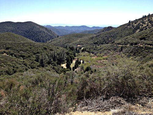
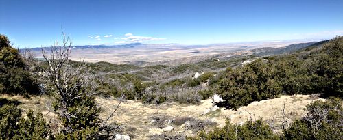
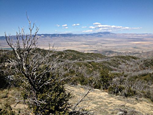
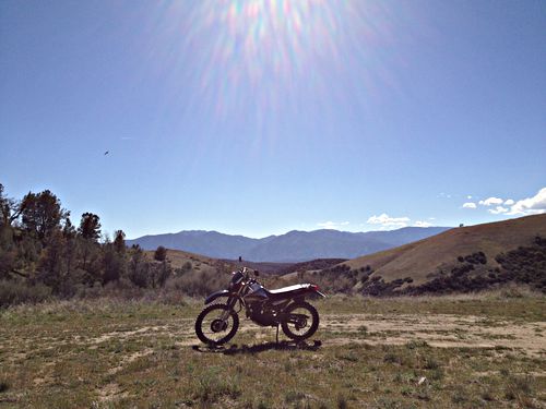
Atmore Meadows. Looking south. I went as far as the Meadows without stopping, then turned back. This and all the remaining photos are pauses along the trip back to the starting place.
Mar 30 2013, 13:48:37
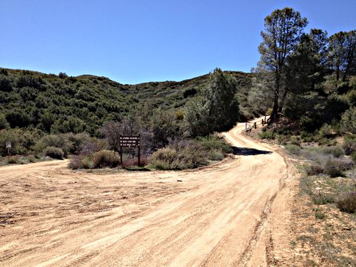
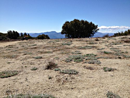
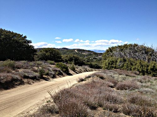
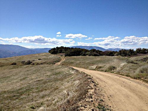
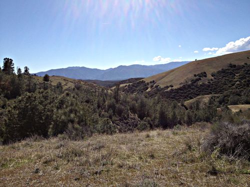
The road is a little sandy - sand that’s slippery. It’s okay, but you don’t want to take a curve too fast, especially going downhill, and you don’t want to make any sudden moves with the handlebars or front brake.
Mar 30 2013, 13:57:39
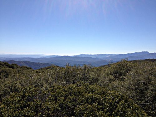
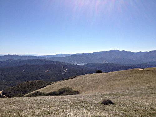
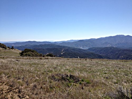
Looking south. I believe that that thin ribbon of low fog just barely visible in the dip in the middle is the sea.
Mar 30 2013, 14:15:01
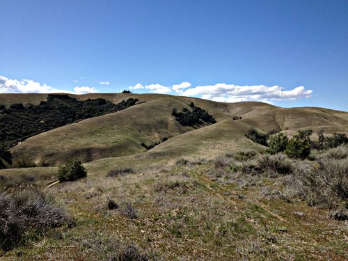
A good view of Liebre Mountain Road itself, winding along the ridge.
Mar 30 2013, 14:16:11
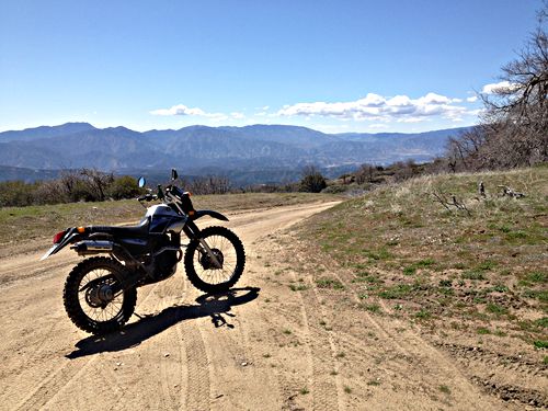
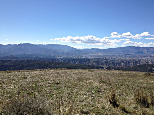
Pyramid “Lake”. The remains of the Old Ridge Route snaking across the scene.
Mar 30 2013, 14:39:47
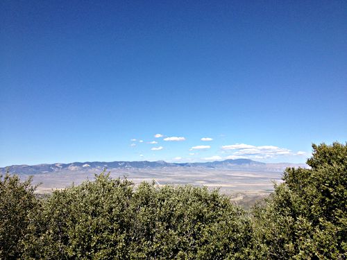
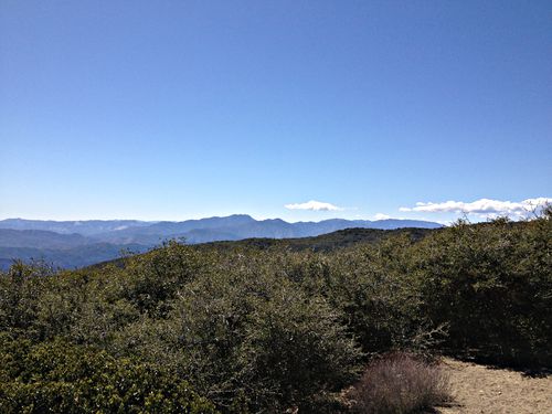
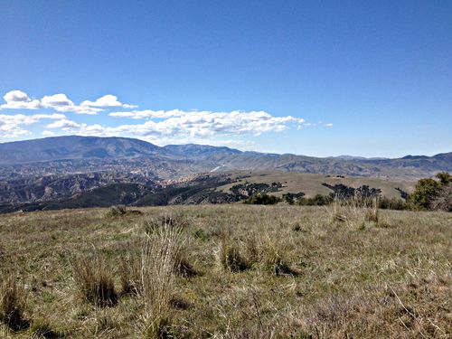
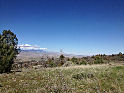
Looking west. Hungry Valley, Frazier Park, that sort of thing.
Mar 30 2013, 14:43:22
Prev: Buckhorn Road and Camuesa Peak
Next: Miranda Pine and La Brea
