Table of Contents > Dirt Biking > Recent Dirt Bike Rides
Prev: Mono Creek, Big Caliente, and Divide Peak
Next: Buckhorn Road and Camuesa Peak
Ballinger (another)
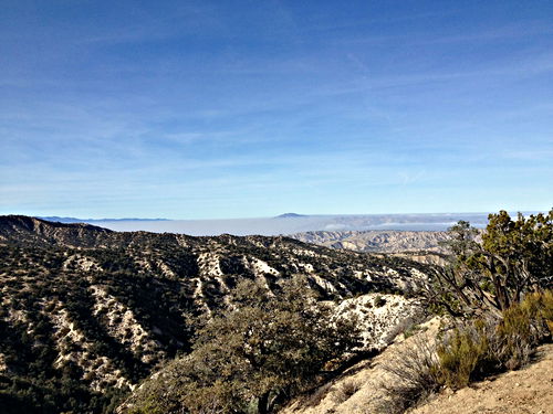
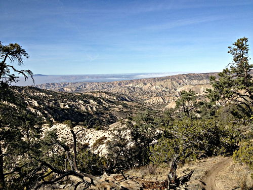
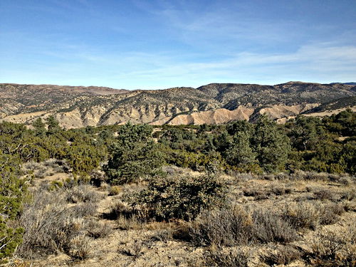
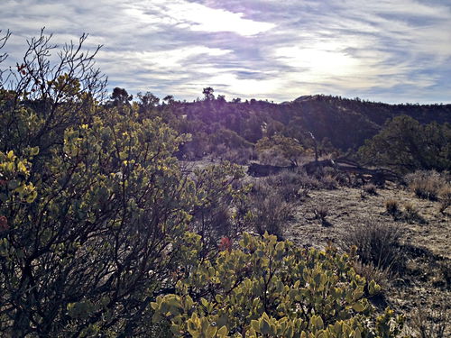
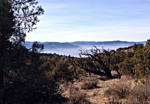
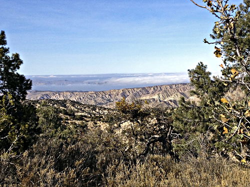
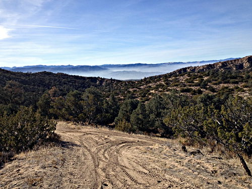
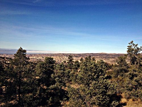
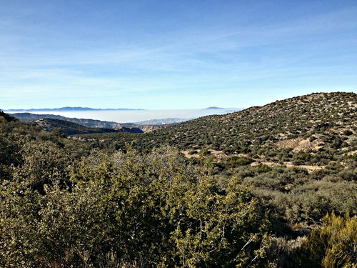
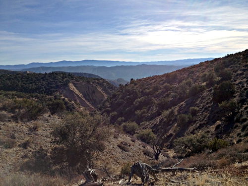
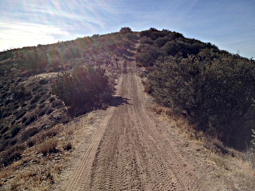
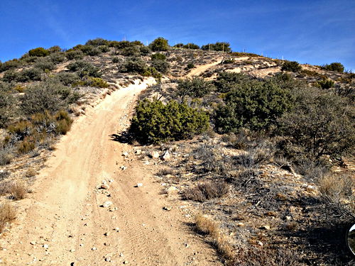
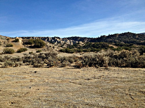
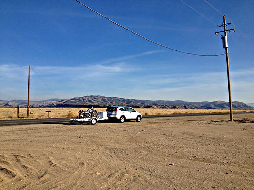
Another quick trip to Ballinger, just me and the bike (and the car and the trailer, see the last photo). I was surprised at how dry it was; recent rains had made no apparent impression, but they must have contributed somehow to make the dirt so perfect (you can see in some photos how beautifully it holds the tire tread). Perfect weather too, pleasant and sunny. Many of the photos show a curious mist in the valleys below.
For a Google Map, click this link.
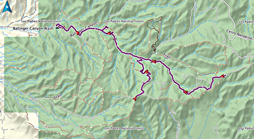
GPS track of this visit. The main track is good old trail 24, a wonderful little road; the second half is like riding through a wormhole, as you wind with quick little lefts and rights and ups and downs through the narrow bottom of a dry stream canyon. At the far right, I went further up trail 24 than I’d ever gone, where it comes out on a series of high ridges; if I’d persisted, how close to Cerro Noroeste could I have gotten? The spur running south in the middle is trail 40, which I took as far as the high ridge that lets you see off to the far side; again, what would have happened if I’d stayed on it? I think you can actually go west all the way back to the main road, and so make a loop.
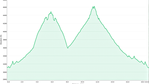
Elevation map of the entire little jaunt. The first peak is the top of trail 40, where I turned around and went back to trail 24; the second peak is the high ridge at the far end of trail 24, where I turned around and went back to the car.
A staging area where a number of advanced trails start. I wasn’t about to attempt any of them! I did look at one and it had a section that was so vertical I couldn’t believe it.
Dec 9 2012, 14:02:04
Prev: Mono Creek, Big Caliente, and Divide Peak
