Table of Contents > Dirt Biking > Recent Dirt Bike Rides
Prev: Camuesa and Buckhorn, GoPro Photos
Next: Ballinger (another)
Mono Creek, Big Caliente, and Divide Peak
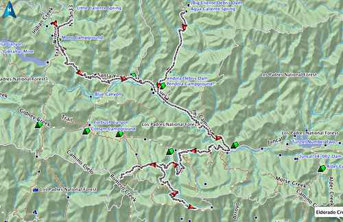
This is mostly a ride we did 2012:11:12 starting late in the morning. Starting at the end of the pavement on East Camino Cielo Road above Santa Barbara, California, down the dirt on Romero Camuesa, going along the road as far as we’re allowed (stopped by a gate), then back to Mono Creek campground where we ate lunch and wandered around for a while, then back down the road and turning left at Pendola to Big Caliente hot spring, and finally, just before returning to the car, taking the spur road up towards Divide Peak, going just far enough to get a great view out to sea.
At the end there are two more photos taken from the ridge on Divide Peak, showing panoramic views in both directions, taken on a different ride about a year later. For a Google Map, click this link.
A track of the ride, taken with my GPS. It starts at the lower left and zig-zags to the upper left; then we retrace our route, with a spur to the upper right and another spur to the lower right.
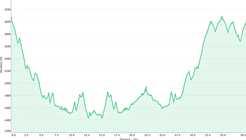
This shows the entire elevation chart for the ride; there is symmetry because all parts of the ride involve retracing the route. As you can see, it involves going mostly down into the river valley; towards the end there’s a steep climb up towards Divide Peak.
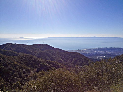
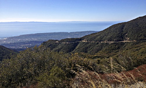
Well, we haven’t even reached the end of Camino Cielo Road, but we just had to pull off and take a picture. This is absolutely the clearest I’ve ever seen this view out to sea. Unfortunately things are a little obscured because the iPhone doesn’t like looking towards the sun, but you can see how clearly the islands show at the horizon on the right. The panorama also gives a nice sense of how Camino Cielo Road is carved into the side of the ridge.
Nov 12 2012, 10:38:46
In the same spot. By keeping the camera down, I prevent the sun from blowing out the highlights, and you can see the islands clearly - Anacapa at the far left (sort of divided into three), and then Santa Cruz island.
Nov 12 2012, 10:39:22
Same spot, looking further to the right (west). Santa Rosa and San Miguel islands visible in the distance.
Nov 12 2012, 10:39:30
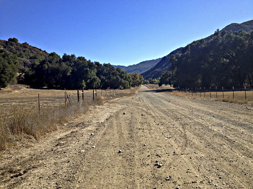
Way down at the bottom, paused in a place where the road is very straight. Looking back.
Nov 12 2012, 11:55:05
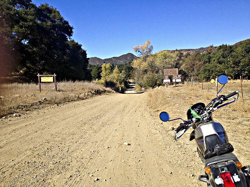
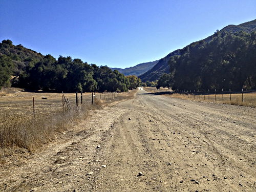
Same spot, looking forward. To the right is the Pendola road to Big Caliente, which we’ll take later on.
Nov 12 2012, 11:55:20
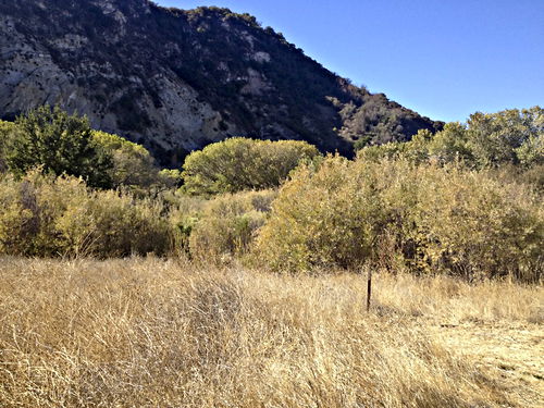
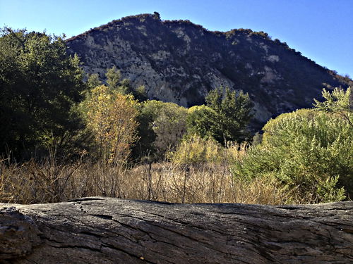
This is Mono Creek Campground. A gorgeous spot; the river is basically dry at the moment, but there must be water underground here, since these are largely cottonwoods.
Nov 12 2012, 12:26:03
Same spot as the previous photo, looking a little more to the left.
Nov 12 2012, 12:28:45
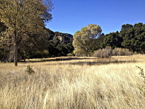
Walking across the little meadow towards the actual campground.
Nov 12 2012, 12:39:10
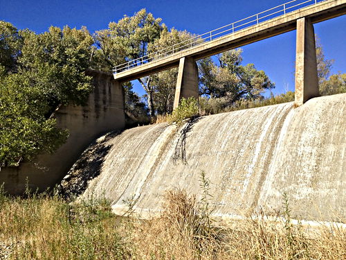
Just beyond the campground, something really unexpected: a huge dam!
Nov 12 2012, 12:47:46
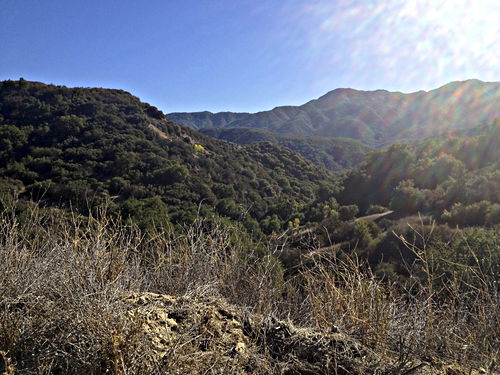
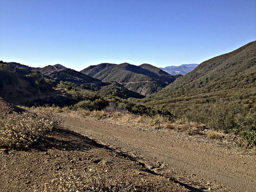
Now we’ve started back along the road, and I paused at a high bend in the road to show the surrounding valley.
Nov 12 2012, 13:12:19
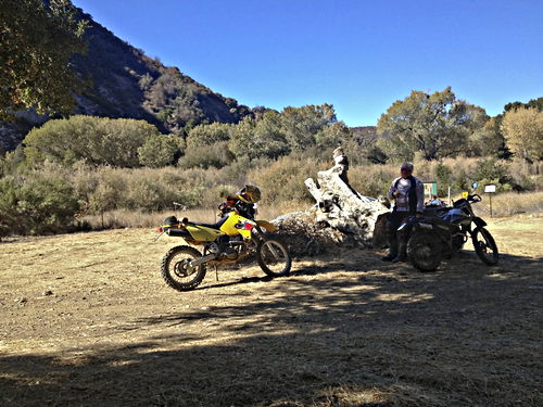
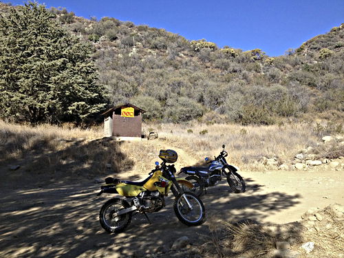
At Big Caliente hot spring, showing the bikes, and the toilet beyond. Hey, when you gotta go, you gotta go.
Nov 12 2012, 13:31:58
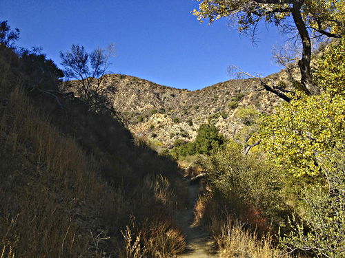
At Big Caliente hot spring; there’s a trail heading on up the creek from here.
Nov 12 2012, 13:34:42
Climbing back out the of the valley, and looking back. If you look carefully you can see the road we’ve just been on, crossing down in the valley.
Nov 12 2012, 14:03:49
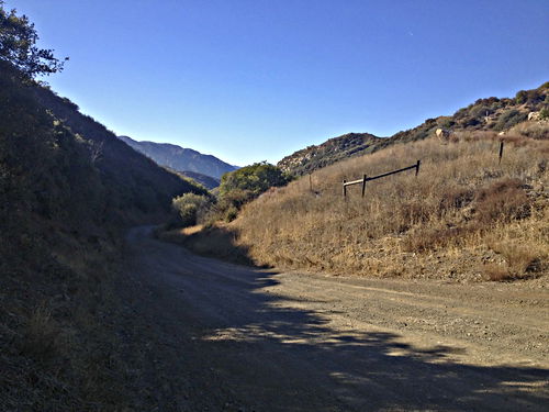
The road goes ever on and on, etc. The sharp contrast late in the day between the bright sunny spots and dark shaded spots makes riding difficult.
Nov 12 2012, 14:04:30
We had to pause to let a dust-raising car get further ahead of us.
Nov 12 2012, 14:04:35
The same spot as the previous photo, but turned around and looking out to sea. The panorama sort of distorts things; the two roads at the left and right are actually the same road and are straight.
Nov 12 2012, 14:37:55
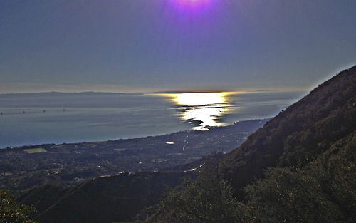
Same spot; a little artificial, but I’ve managed to get the iPhone to close down its exposure so some detail is visible. The square green patch at the lower left is the Polo Grounds. Notice the pretentious houses on the near ridge below us.
Nov 12 2012, 14:40:55
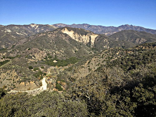
A panoramic view from the ridge a little further up the trail, taken a year later, facing inland.
Oct 6 2013, 13:33:59
A panoramic view on the same spot as the preceding photo, facing the opposite way, towards the sea.
Oct 6 2013, 13:34:21
Prev: Camuesa and Buckhorn, GoPro Photos
Next: Ballinger (another)
