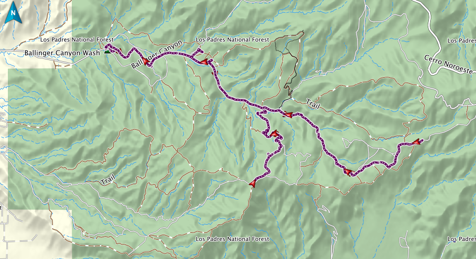
GPS track of this visit. The main track is good old trail 24, a wonderful little road; the second half is like riding through a wormhole, as you wind with quick little lefts and rights and ups and downs through the narrow bottom of a dry stream canyon. At the far right, I went further up trail 24 than I’d ever gone, where it comes out on a series of high ridges; if I’d persisted, how close to Cerro Noroeste could I have gotten? The spur running south in the middle is trail 40, which I took as far as the high ridge that lets you see off to the far side; again, what would have happened if I’d stayed on it? I
think you can actually go west all the way back to the main road, and so make a loop.