Table of Contents > Dirt Biking > Older Dirt Bike Rides
Prev: Apache Canyon Rd
Next: Maxwell Road
Ballinger
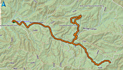
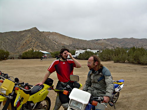
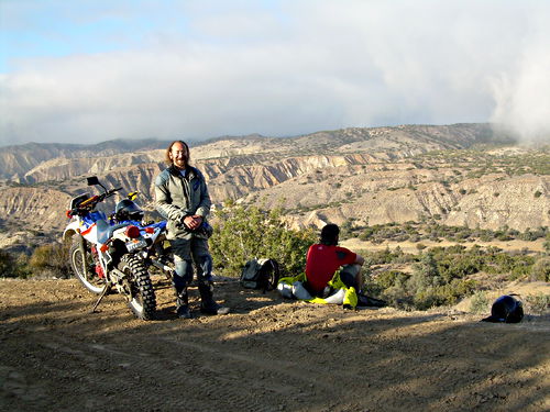
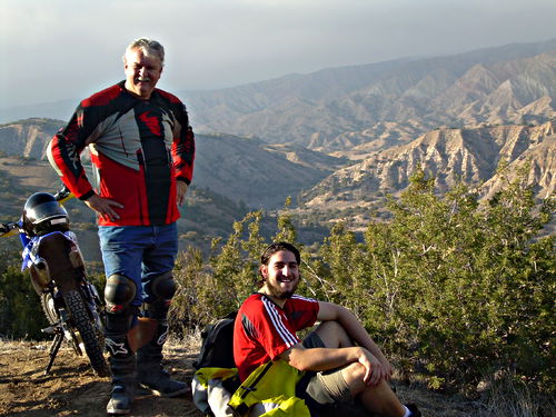
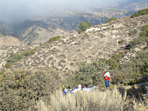
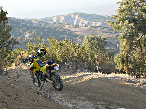
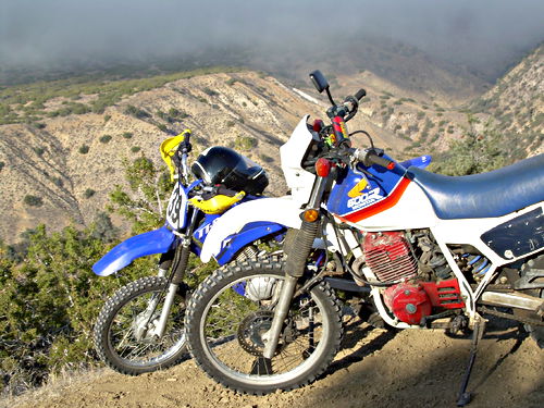
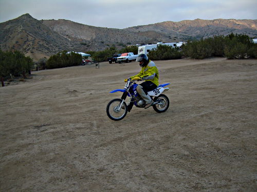
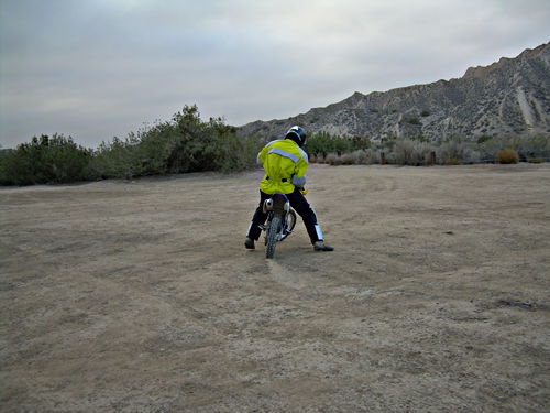
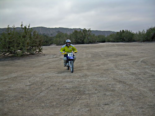
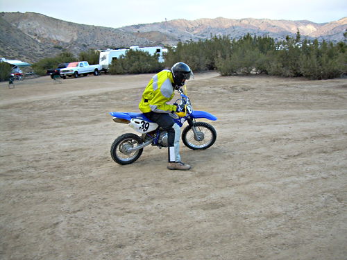
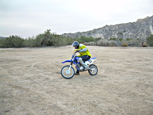
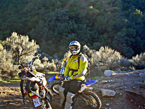
Two rides, 2007-11-20 and 2010-11-24, at Ballinger Canyon (near New Cuyama and Song Dog Ranch). The GPS map and elevation chart are from the second ride. There are some big differences between the two trips in my equipment; by 2010 I’ve got actual dirt bike riding togs, and I’ve got the Yamaha XT225 instead of the Honda XL600R. Kyle also has proper helmet and boots in 2010. There are also some big differences in our transportation, which unfortunately you don’t see: by 2010 John has rebuilt the trailer, we have a completely different custom hold-down system, and we’re towing with a different vehicle (4Runner instead of Dodge Caravan).
GPS map from our second visit to Ballinger. The west-to-east road is trail 24; the spur going off to the north (and way up) is trail 17. Kyle and I went up that while John lost us and so went back down to the intersection and took a bunch of great pictures there.
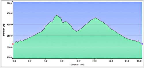
Elevation chart for route in preceding picture. Note insanely steep stuff around first peak (top of Trail 17). At least, I sure thought it was insanely steep. Especially when going up it. And even more so when coming down it. The second peak is the far east end of Trail 24; after that it’s pretty much all gradually descending back to the car on Trail 24.
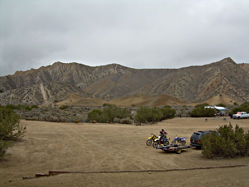
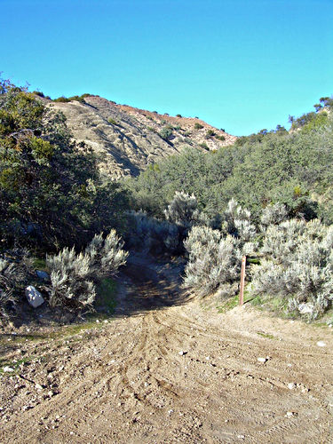
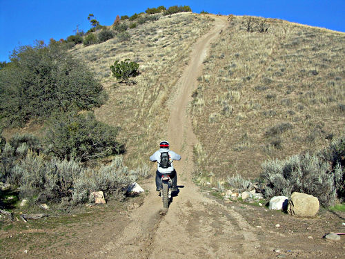
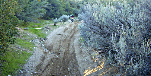
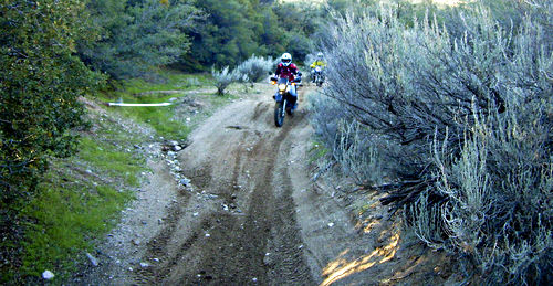
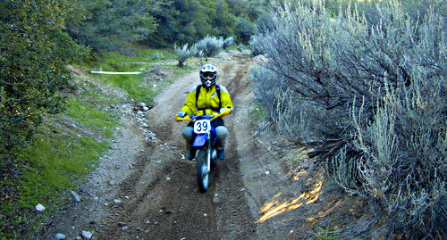
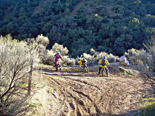
The start of trail 17. John got separated from us about halfway up so he came back down and waited, and took these pictures. Look closely at the ground: you can see what wonderful conditions we had. After a series of rains, the ground is packed and damp, holding the tires perfectly.
Nov 24 2010, 15:01:53
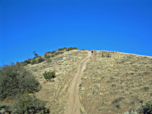
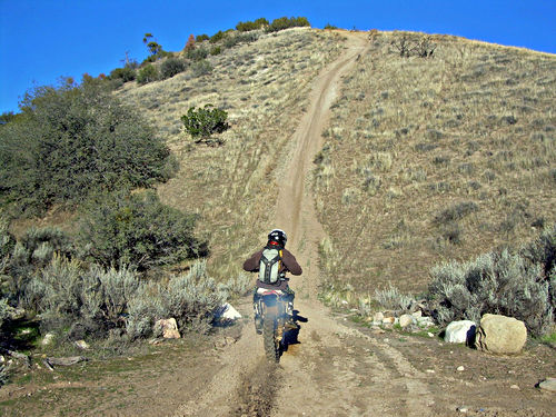
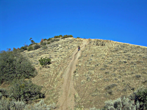
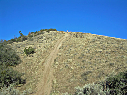
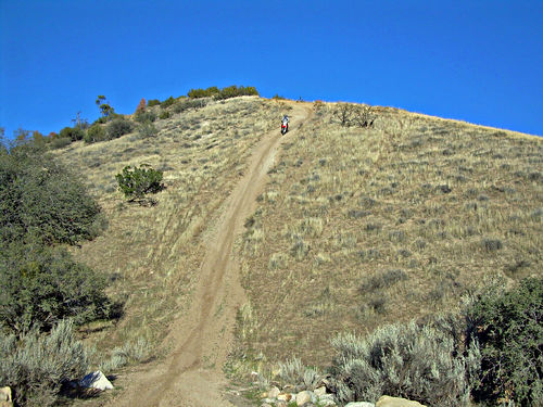
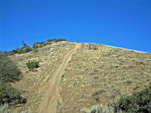
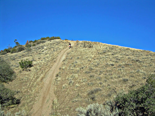
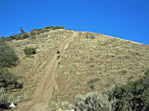
This isn’t any of us three; it’s a couple of guys who came down trail 17 (Kyle and I had seen them when we were all right up at the top) and then went up this unbelievably steep hill and came back down. At least, I thought it was unbelievably steep. Believe me, it looked a lot steeper at the time than it does in these pictures. Really. Anyhow, John took a series of picture showing how easily they did it.
Nov 24 2010, 15:23:18
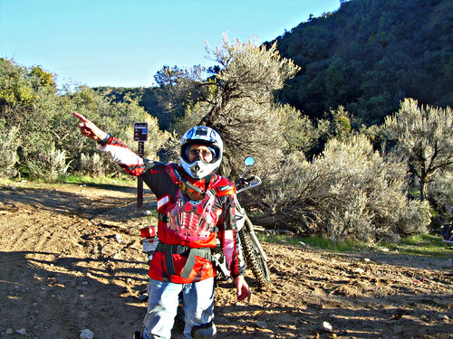
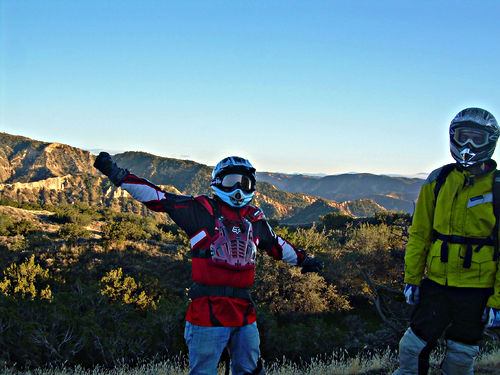
“Wow, you should have been there! It was incredibly steep going up and even steeper coming down!! And we were way high up! The views were unbelievable! Really!”
Nov 24 2010, 15:33:10
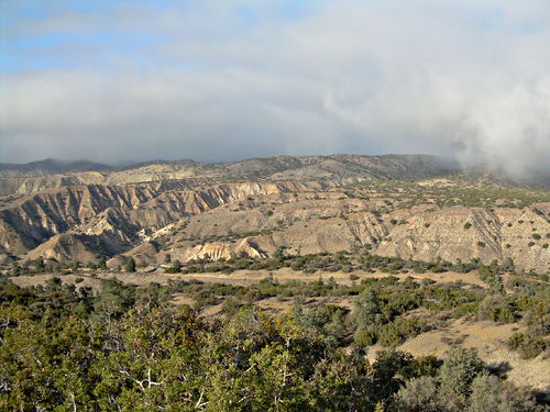
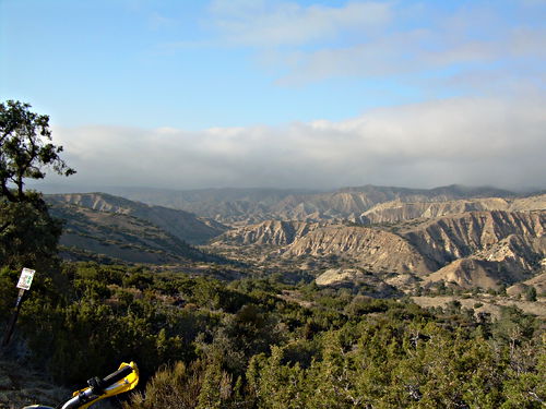
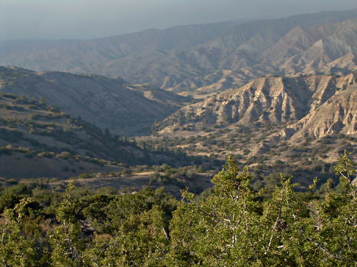
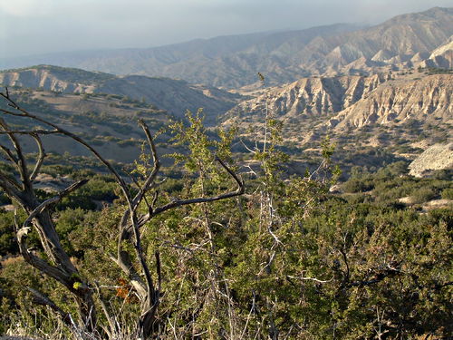
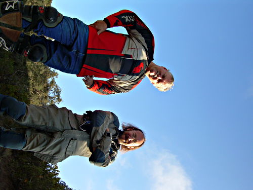
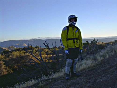
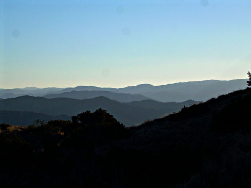
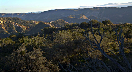
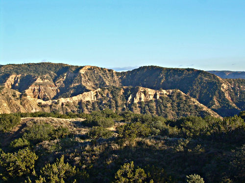
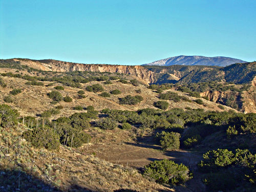
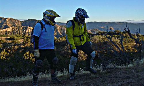
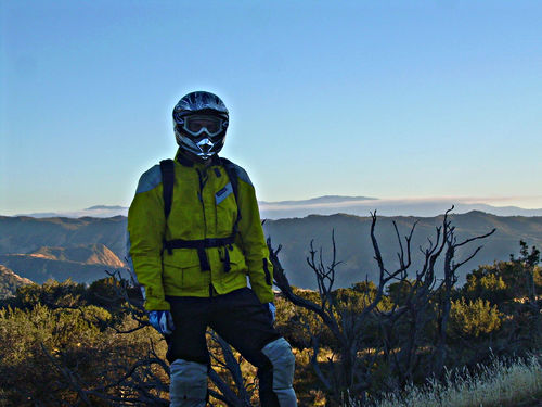
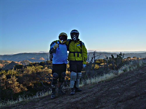
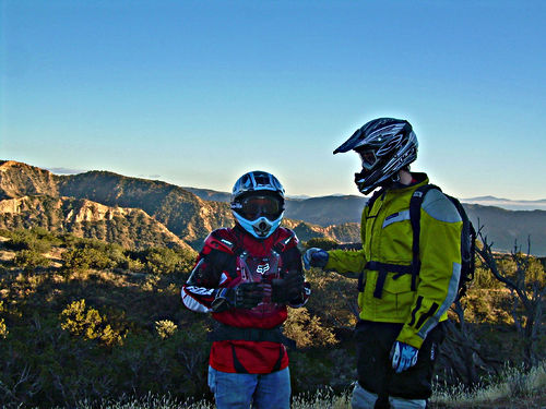
These next pictures are taken at the far east end of Trail 24. Great views. You’ll notice that no one takes off their helmets or gloves as we pose for photos. That’s because we are all absolutely freezing our butts off.
Nov 24 2010, 15:50:37
Prev: Apache Canyon Rd
Next: Maxwell Road
