Table of Contents > Dirt Biking > Older Dirt Bike Rides
Prev: Lockwood Valley Road
Next: Upper Oso (Big Pine, Happy Hollow)
Upper Oso
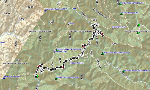
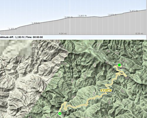
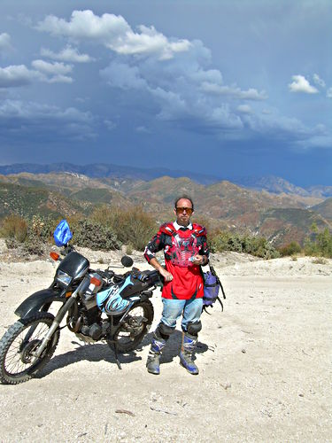
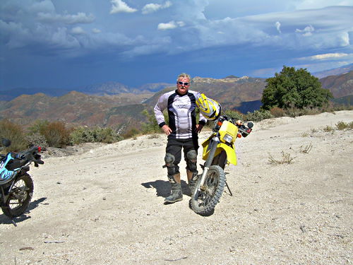
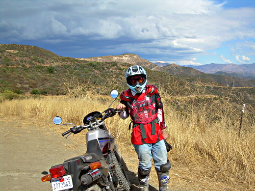
From Upper Oso, off Paradise Road, up Romero Camuesa, left at the fork onto Big Pine; we stopped where the road was closed due to fire at that time, and took these pictures. That was one of our first rides (2007:12:02). Nearly three years later (2010:10:01), we came back; Matt has a new bike and very different equipment. The 2010 photos are taken at three spectacular points on the road down.
See also Buckhorn and
Buckhorn Road and Camuesa Peak

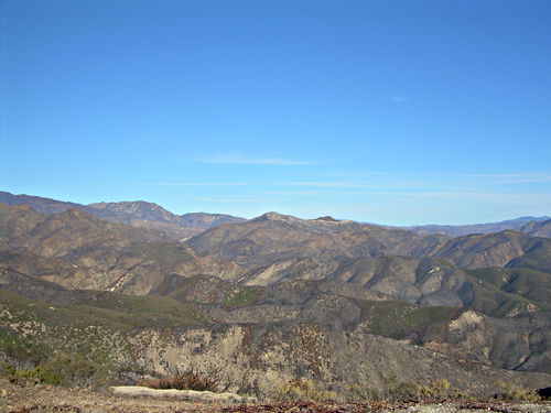
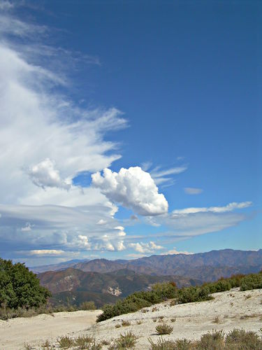
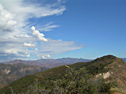
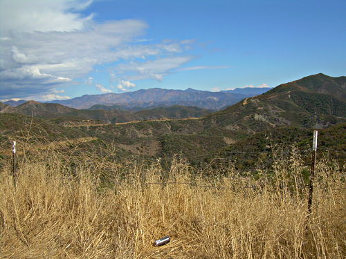
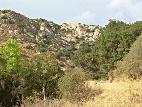
Looking off in this direction, you’d never know there had been a fire. Just mountains stretching away…
Dec 2 2007, 15:42:48
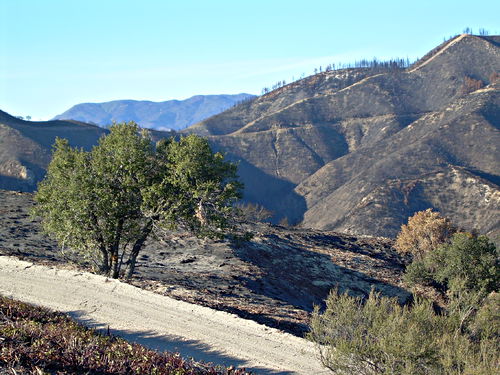
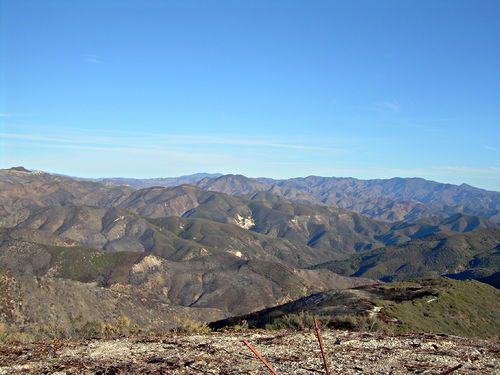
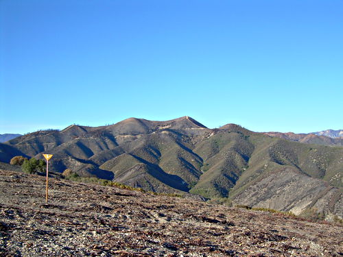
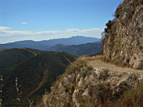
Looking across the road we came up (below) at the upper part of the road (top, distant), which is closed. You can see that it goes into a very burned-out area.
Dec 2 2007, 15:43:52
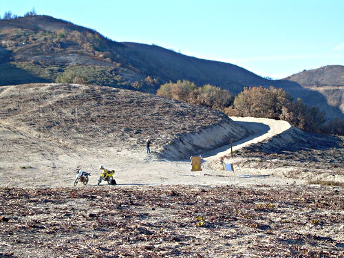
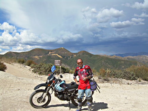
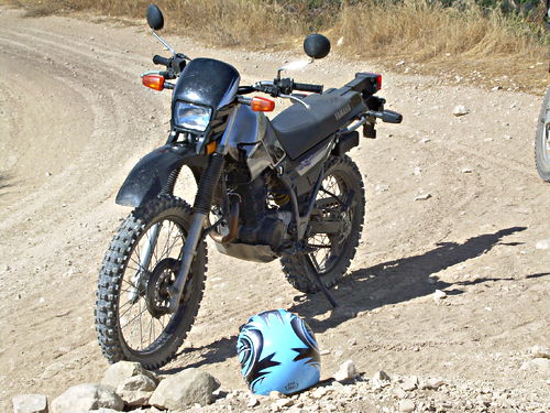
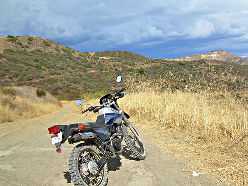
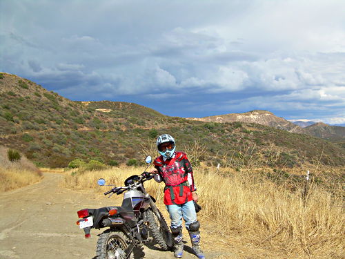
Our bikes. We came up the road from the right, and stopped here because of the sign says you can’t go on up any further, probably because of the recent Zaca Fire (of which you can see the effects in other photos). Notice that the ground across which we’re looking at the bikes has been bulldozed, probably to form a fire break.
Dec 2 2007, 15:44:21

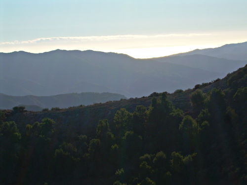
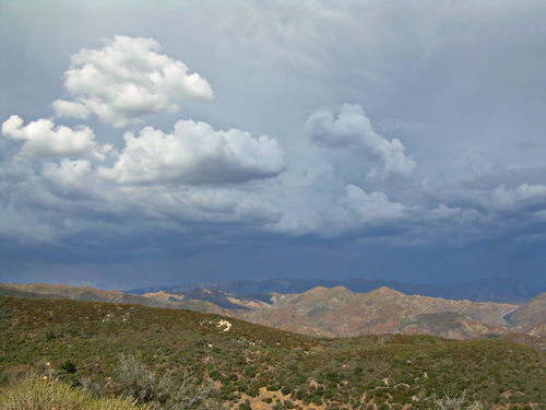
Looking even further to the right, we can see all the way back to the sea, which glows under the late afternoon winter sun.
Dec 2 2007, 15:46:15

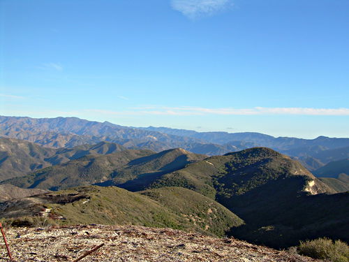
First in a panorama series, each picture facing slightly to the right of the previous one.
Dec 2 2007, 15:48:50
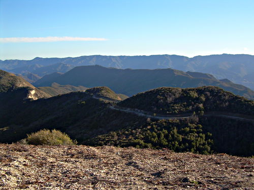
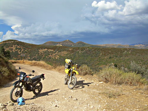
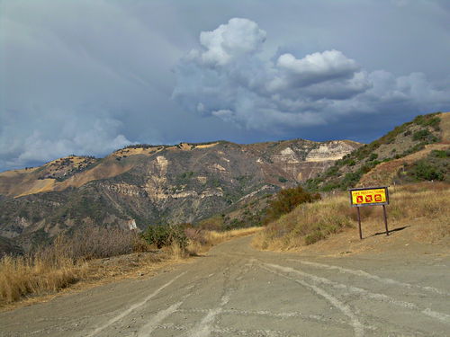
Another shot of the road we couldn’t take. Notice the burned strip at the lower right. Funny how the fire just shoots along one slope of a single hill like this, leaving the surrounding area untouched.
Dec 2 2007, 15:49:12

You can see the road closure sign just at the right. Back of Matt gazing off in the direction we’re not allowed to go.
Dec 2 2007, 15:49:56

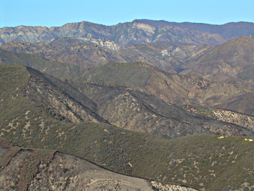
Showing very clearly how the fire destroyed foliage in almost rectangular strips, leaving the surrounding area intact.
Dec 2 2007, 15:52:03


Prev: Lockwood Valley Road