Table of Contents > Dirt Biking > Recent Dirt Bike Rides
Prev: Upper Oso To Camuesa
Next: El Mirage
Dough Flat
This is a ride we did 2012-04-01 in the afternoon. It starts at Goodenough Road north of Fillmore, California and winds up towards the condor preserve area at Dough Flat. On this particular occasion we didn’t actually reach Dough Flat, as the last mile or two of the road were gated off. It’s an easy ride, since it’s basically just a road, partially paved, and accessible to most ordinary cars (with patience). But it’s still a fun, easy ride in a lovely place, especially because you get amazing views towards the Sespe River gorge, one of the most dramatic and best-kept secrets of Southern California.
For a Google Map of this route, click this link.
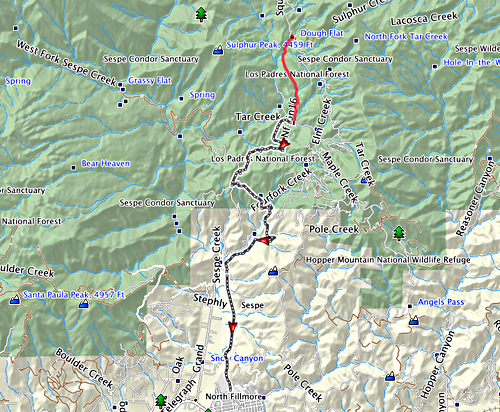
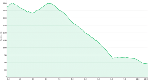
Showing the route, as recorded by my GPS. The last part of the road, shown in red, was taken on an earlier occasion; we didn’t actually make it that far on this ride, because the top part of the road was closed.
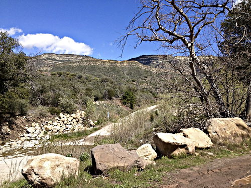
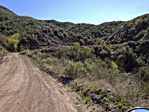
Now we’ve started back down the road, and have paused to look at the view. You can see this road is just a road, nicely packed. But it’s still remarkable because of the way it’s carved into the side of a canyon.
Apr 1 2012, 14:53:37
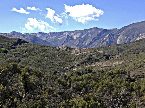
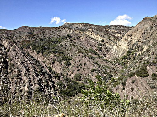
A view off towards the Sespe River gorge. I always wish I knew something about geology when I’m looking at this view.
Apr 1 2012, 15:01:12
Look at the rock strata here. I suspect that Mighty Forces have been at work!
Apr 1 2012, 15:17:28
Prev: Upper Oso To Camuesa
Next: El Mirage
